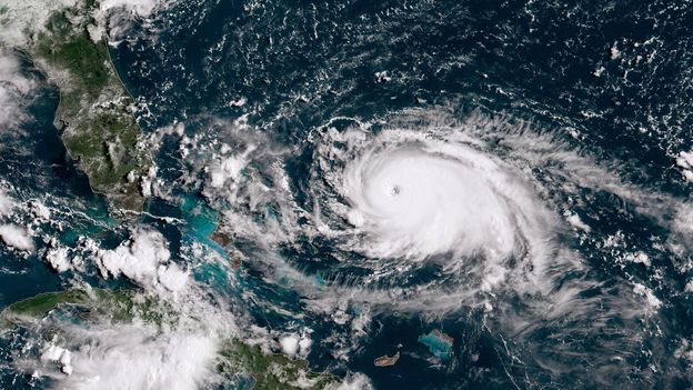
The hurricane, which reached 160mph (258km/h) winds on Friday (8 September), was a category one storm on Thursday but intensified to a category five, increasing by 85mph (137km/h) in just 24 hours. The increase made the hurricane, which meteorologists dubbed “rare”, the third-fastest rapid intensification in the Atlantic. According to the National Oceanic and Atmospheric Administration (NOAA), the definition of rapid intensification is a 35mph (56km/h) over a one-day period – which Lee greatly exceeded.
Only two other Atlantic hurricanes in history have intensified more rapidly – Felix in 2007, and Wilma in 2005 – and only 4.5% of named storms in the Atlantic have grown to a category five in the past decade.
Some climate scientists were stunned over not just Lee’s sudden intensification – and then rapid weakening – but also the timing of Jova, which rapidly ballooned into a category five storm as it made its way over the Pacific Ocean at the same time Lee was forming. These two huge storms formed as the US Atlantic hurricane season peaked on 10 September.


When the water temperature is nearly in the triple digits this kind of shit is going to happen.